By Dr. Amanda West, GPOCP GIS Consultant
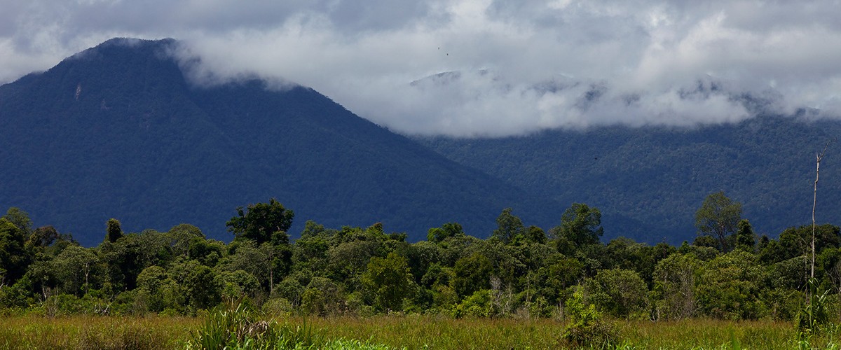
Last year, I was recruited by GPOCP to evaluate critical habitat for the Bornean orangutan in and around Gunung Palung National Park. Map results from this research will provide explicit geographic information that can be used to enhance monitoring efforts and conservation planning in the region. This month, I had the wonderful opportunity to visit the study area and share my knowledge and experience in geographic information systems through a series of workshops for staff from GPOCP, Gunung National Park, and local villages.
Maps are a form of communication that go beyond language barriers; that is one of the things I love most about making maps. It is also why I strive to share my knowledge and experience in map making with a broader audience outside academia. I have been teaching GIS to students who are new to geospatial analysis for almost five years and have developed a series of QGIS (an open-source GIS software) tutorials explicitly for this purpose. Over the past few years I’ve found that place-based tutorials provide more tangible and enduring curricula. Because most of my teaching experience has been in Ethiopia, to prepare for my visit to the field, I adjusted these tutorials to focus on Indonesia, including data on Indonesian cities, provinces, and orangutan follow GPS points. Cassie (GPOCP Program Director) and I also translated the tutorials into Bahasa Indonesia so that they could be shared with a wide audience. Before I began the workshops I was a little bit concerned about the language barrier! However, with help from the English-speaking GPOCP staff, we were able to translate the instructions so that everyone could understand. There were a few funny moments, but it was a great learning experience for all.
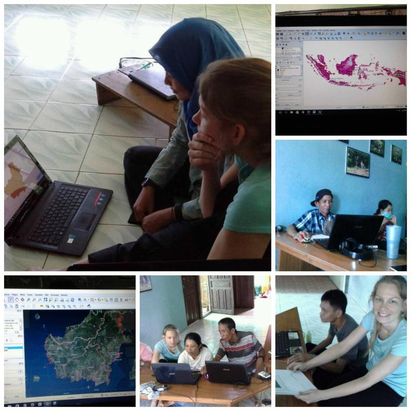
The first order of business for Amanda’s visit: a 5-day QGIS training for GPOCP staff! Everyone learned a lot and had a great time.
During my time here, I have led two different workshops for 35 people, including GPOCP staff, National Park staff, and village leaders. Participants learned how to organize and manage geospatial data, derive shapefiles, identify features and attributes, analyze common patterns in geographic space, work with datums and projections, and compose maps. All of the participants were highly motivated and eager to create maps using the data I shared with them. When I reflect on my five weeks in Ketapang and Kayong Utara, the first things that come to mind are excited faces of workshop participants after making their first map. Some of the participants even saved their maps as their new computer desktop background! On the last day of each workshop, I took time to work with individuals who had additional questions. Many participants had their own geospatial data, and wanted to learn how to analyze it with QGIS. Others wanted to learn how to acquire coordinate points using a GPS and visualize them on a map in QGIS. Throughout the workshops, the enthusiasm of participants and their willingness to help each other provided evidence to me that they not only felt accomplished in cartography, but also that they were confident enough to continue this pursuit after the workshops ended.
-
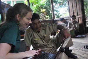
- Amanda helps Pak Iskandar, head of Riam Berasap village, with his GIS map.
-
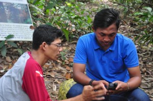
- Workshop participants, Uray (Natural Resources Conservation Agency – Kayong Utara) and Roni (Gunung Palung National Park) practice taking GPS points during the training.


