By Syahik Nurbani, GPOCP Orangutan Nest Survey Coordinator
And it is flying for orangutan conservation!
This month we embarked on a new and exciting conservation project. We are flying drones! With financial support from the U.S. Fish and Wildlife Service and Ocean Park Conservation Foundation, the Gunung Palung Orangutan Conservation Program, International Animal Rescue and the Gunung Palung National Park staff are conducting population assessments of wild Bornean orangutans by comparing ground nest surveys to new drone technologies. Orangutan nest surveys are often expensive and require a significant amount of time in the field. The goal of this project is to conduct a comprehensive population census analysis of orangutans within Gunung Palung National Park and compare results to a new drone based method of monitoring.
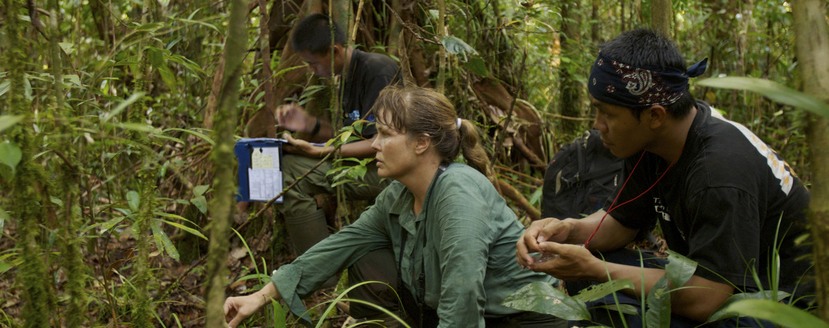
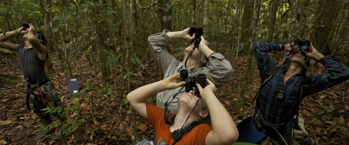
The project began about 2 months ago with the ground team trekking into the rainforest to survey and record data on all orangutan nests that were found in the pre-determined transects. Ten transect sites were selected throughout all reaches of the National Park, including peat swamp forest, lowland, and montane forest. These transects were often deep in the rainforest and required up to 15 expedition days to hike in and collect all the necessary information. The ground team is currently finishing up their last few transects and will be making their way out of the rainforest soon. In total, the estimated number of field days for the ground team to complete ten transects is around 45 days.
 |
| An orangutan nest found during the ground surveys. Photo credit International Animal Rescue. |
A drone is an Un-manned Aerial Vehicle (UAV) that can retrieve photographic or video imagery. For this project, we worked with a professional drone team, Swandiri Institute, based out of Pontianak, West Kalimantan. We used a fixed wing drone. This type of drone allows for a longer flight time and the flight plan can be pre-programed so the drone automatically knows where to fly. This month, the drone team met near the north end of the Park to start their journey of capturing aerial imagery that corresponded with the GPS transect points collected previously by the ground team. The drone team conducted six missions in 11 days! Unfortunately, as often occurs while doing fieldwork, the weather did not cooperate and turned into clouds and heavy rain. With these conditions it was difficult to fly the drone and collect the needed imagery, so the team had to take a break for two days and wait it out. Without this weather delay, the team would have been able to complete the surveys in even less time.
 |
| Bani, center in red shirt, with the drone team from Swandiri Institute. |
One transect survey was suddenly interrupted with thick vegetation, so we had to look for alternative ways to gain access to the area. In the photo below, I am flying a multi-rotor drone (also known as a helicopter drone), which is relatively easy to control and allows you to hover over an area. We used this helicopter drone to find an area where we could have a safe take-off and landing location for the fixed wing drone. After a quick aerial view of the landscape with the helicopter drone, we knew exactly where we needed to be and made the short hike to that location. Drones have proven to be invaluable in their ability to expedite our work!
 |
| Bani learning to fly a helicopter drone. |
The fixed wing drone obtains the best imagery when flying high above the canopy. The camera takes a picture every 3 seconds, so one 50 minute flight will produce nearly 1,000 photos. These images are then stitched together into one image using a special computer program. Our team will then analyze each transect area and record any orangutan nests visible in the imagery. This project will give us an estimate of the current orangutan population in Gunung Palung National Park, and determine if drones are a cost effective tool for such assessments. These data can then be used for more effective conservation strategies and planning.
 |
| A mosaicked image from one of our drone surveys. Photo credit Swandiri Institute. |
Again, we want to thank all of our partners for their support in this new and innovative project and we look forward to sharing the final results in the coming months.


